 |
 |
 |
 |
 |
 |
 |
 |
 |
 |
 |
 |
 |
 |
 |
 |
 |
 |
 |
 |
 |
 |
 |
 |
 |
 |
 |
 |
 |
 |
 |
 |
 |
 |
 |
 |
 |
 |
 |
 |
 |
 |
 |
 |
 |
 |
 |
 |
 |
 |
 |
 |
 |
 |
 |
 |
 |
 |
 |
 |
 |
 |
 |
 |
 |
 |
 |
 |
 |
 |
 |
 |
 |
 |
 |
 |
 |
 |
 |
 |
 |
 |
 |
 |
 |
 |
 |
 |
 |
 |
 |
 |
 |
 |
 |
 |
 |
 |
 |
Ayeyarwady River or Irrawaddy River
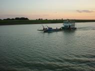
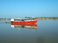
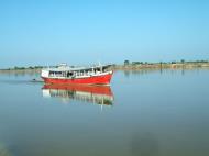
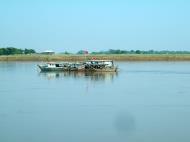
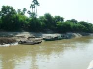
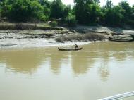
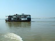
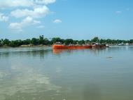
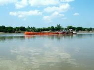
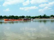
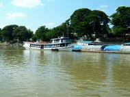
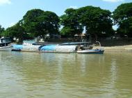
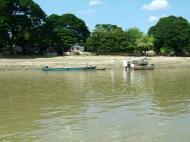
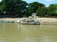
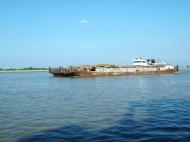
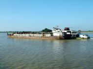
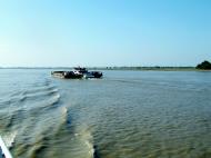
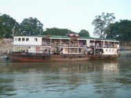
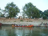
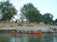
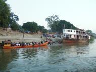
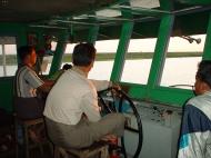
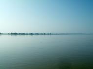
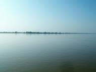
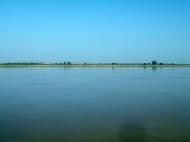
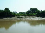
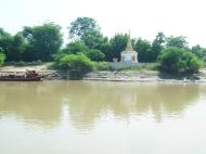
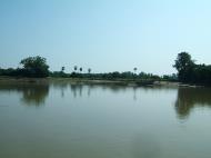
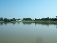
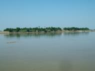
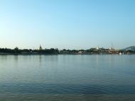
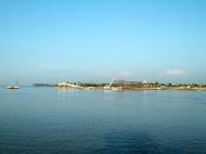
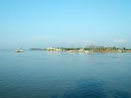
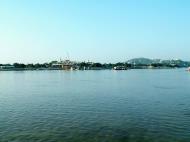
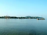
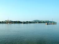
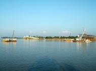
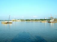
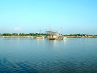
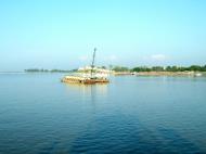
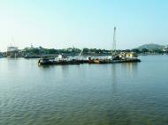
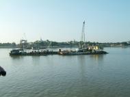
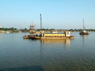
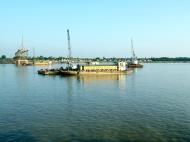
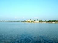
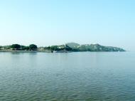
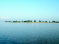
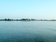
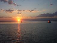
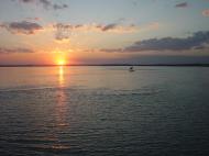
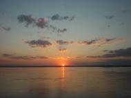
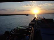
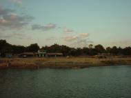
The Ayeyarwady River or Irrawaddy River is a river that flows from north to south of Burma (Myanmar). It is the country's largest river (about 1350 miles or 2170 km long) and its most important commercial waterway, with a drainage area of about 158,700 square miles (411,000 km²).
Etymology
The names Irrawaddy and Ayeyarwady are believed to have derived either from the Sanskrit name Iravati, a sacred river and minor goddess in Indian mythology, or from her son Airavata, the elephant mount of Indra.The Irrawaddy gives its name to a dolphin, the Irrawaddy dolphin (Orcaella brevirostris), which is found in the upper reaches of the river and known to help fishermen who practise cast-net fishing. Though sometimes called the Irrawaddy River Dolphin, it is not a true river dolphin, since it is also found at sea.
Physiography
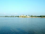
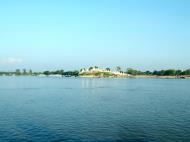
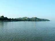
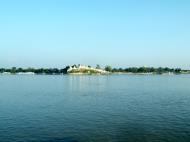
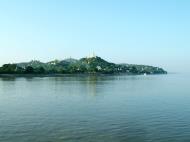
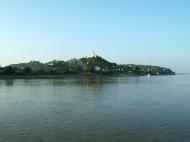
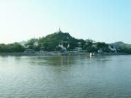
The Ayeyarwaddy River bisects the country from north to south and empties through a nine-armed Irrawaddy Delta into the Indian Ocean.Source
It arises by the confluence of the N'mai and Mali Rivers in Kachin State Kachin. Both the N'mai and Mali Rivers find their sources in the Himalaya glaciers of Northern Myanmar, in the vicinity of 28° N . The eastern branch of the two, N'mai river , is the larger stream, but it is unnavigable because of the strong current whereas the smaller western branch, the Mali river, is navigable, despite a few rapids.The town of Bhamo, about 150 miles (240 km) south of the Mali and N'mai river confluence, is the northernmost city reachable by boat all the year round although during the monsoons most of the river cannot be used by boats. The city of Myitkyina however lies 30 miles south of the confluence and can be reached during the dry season.
Defiles
Between Myitkyina and Mandalay,the Irrawaddy flows through three well-marked defiles :* About 40 miles (65 km) downstream from Myitkyinā is the first defile.
* Below Bhamo the river makes a sharp westward swing, leaving the Bhamo alluvial basin to cut through the limestone rocks of the second defile. This defile is about 300 feet (90 metres) wide at its narrowest and is flanked by vertical cliffs about 200 to 300 feet (60 to 90 metres) high.
* About 60 miles (100 km) north of Mandalay, at Mogok, the river enters the third defile. Between Katha and Mandalay, the course of the river is remarkably straight, flowing almost due south, except near Kabwet, where a sheet of lava has caused the river to bend sharply westward.This sheet of lava is the Singu Plateau, a volcanic field from the Holocene. This field exists of magma from the fissure vents and cover an area of about 62 sq km. The plateau is also known as Letha Taung.
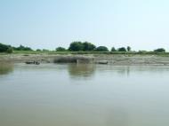
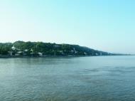
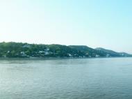
Leaving this plateau at Kyaukmyaung , the river follows a broad, open course through the central dry zone - the ancient cultural heartland where large areas consist of alluvium flats. From Mandalay(the former capital of the kingdom of Myanmar), the river makes an abrupt westward turn before curving southwest to unite with the Chindwin River, after which it continues in a southwestern direction. It is probable that the upper Irrawaddy originally flowed south from Mandalay, discharging its water through the present Sittoung River to the Gulf of Martaban, and that its present westward course is geologically recent. Below its confluence with the Chindwin, the Irrawaddy continues to meander through the petroleum producing city of Yenangyaung, below which it flows generally southward. In its lower course, between Minbu and Prome, it flows through a narrow valley between forest-covered mountain ranges—the ridge of the Rakhine Yoma Mountains to the west and that of the Pegu Yoma Mountains to the east.
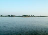
The Irrawaddy Delta
The delta of the Irrawaddy begins about 58 miles (93 km) above Hinthada (Henzada) and about 180 miles (290 km) from its curved base, which faces the Andaman Sea. The westernmost distributary of the delta is the Pathein (Bassein) River, while the easternmost stream is the Yangon River, on the left bank of which stands Myanmar’s capital city, Yangon (Rangoon). Because the Yangon Riveris only a minor channel, the flow of water is insufficient to prevent Yangon Harbourfrom silting up, and dredging is necessary. The relief of the delta’s landscape is low but not flat. The soils consist of fine silt, which is replenished continuously by fertile alluvium carried downstream by the river. As a result of heavy rainfall varying from 80 to 120 inches a year in the delta, and the motion and sediment load of the river, the delta surface extends into the Andaman Sea at a rate of about 165 feet (50 metres) per year.Tributaries
1. Taping River
2. Shweli River
3. Myitnge River
4. Mu River
5. Chindwin RiverMajor cities and towns
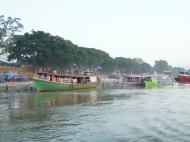
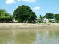
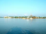
The river flows through the following cities:
* Putao
* Myitkyina
* Bhamo
* Katha
* Kyaukmyaung
* Mandalay
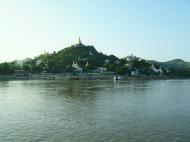
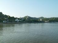
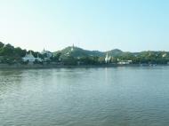
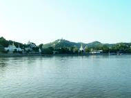
* Sagaing
* Chauk
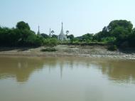
* Bagan
* Nyaung-U
* Magway
* Pyay
* Hinthada
* PantanawBridges
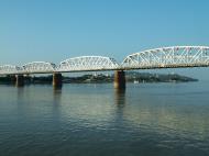
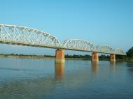
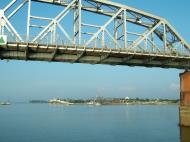
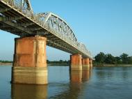
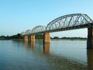
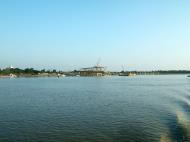
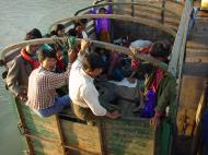
The Ava Bridge near Sagaing, rebulit in 1954 after the wartime destruction of the original bridge built in 1934, was the only bridge over the Ayeyarwady until 1998.Until the construction of the Ava (Innwa) Bridge, a 16 span rail and road cantilever bridge built by the British colonial government in 1934, the only way across the Irrawaddy was by ferry. The bridge was destroyed by the retreating British Army during the World War II and was rebuilt in 1954 after Burmese independence and was the only bridge to span the Ayeyarwady until recent times when a spate of bridge construction has been carried out by the government.
1. Ayeyarwady Bridge (Yadanabon) just upstream from the old Ava Bridge at Sagaing
2. Bala Min Htin Bridge over the N'Mai Hka at Myitkyina, November 1998
3. Anawrahta Bridge at Chauk, April 2001
4. Ayeyarwady-Magway Bridge at Magway
5. Bo Myat Tun Bridge at Nyaungdon, November 1999
6. Nawaday Bridge at Pyay, September 1997
7. Maubin Bridge at Maubin, February 1998
8. Ayeyarwady-Dedaye Bridge at DedayeWeb reference: https://en.wikipedia.org/wiki/Ayeyarwady_River
Ayeyarwady River, Myanmar (Burma) Map
 Editor for Asisbiz: Matthew Laird Acred
If you love our website Please donate so we can make this site even better !!
Please donate so we can make this site even better !!